The Veins of the Volcano: The Incredible Story of How Lanzarote Moves
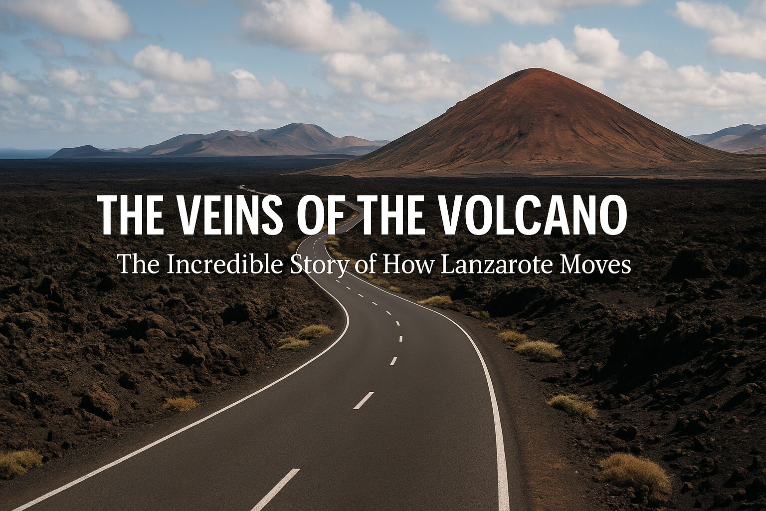
When we talk about Lanzarote, we usually talk about the destinations: the fiery peaks of Timanfaya, the hidden beaches of Papagayo, or the architectural wonders of César Manrique.
But at Lanzawear, we believe the journey is just as important. And on this island, the journey is a miracle of engineering.
Infrastructure sounds like a boring word. It brings to mind gray concrete and endless commutes. But here, infrastructure is a story of human grit versus volcanic fury. It’s about how you build a modern society on a land that was, quite literally, liquid fire just a few centuries ago.
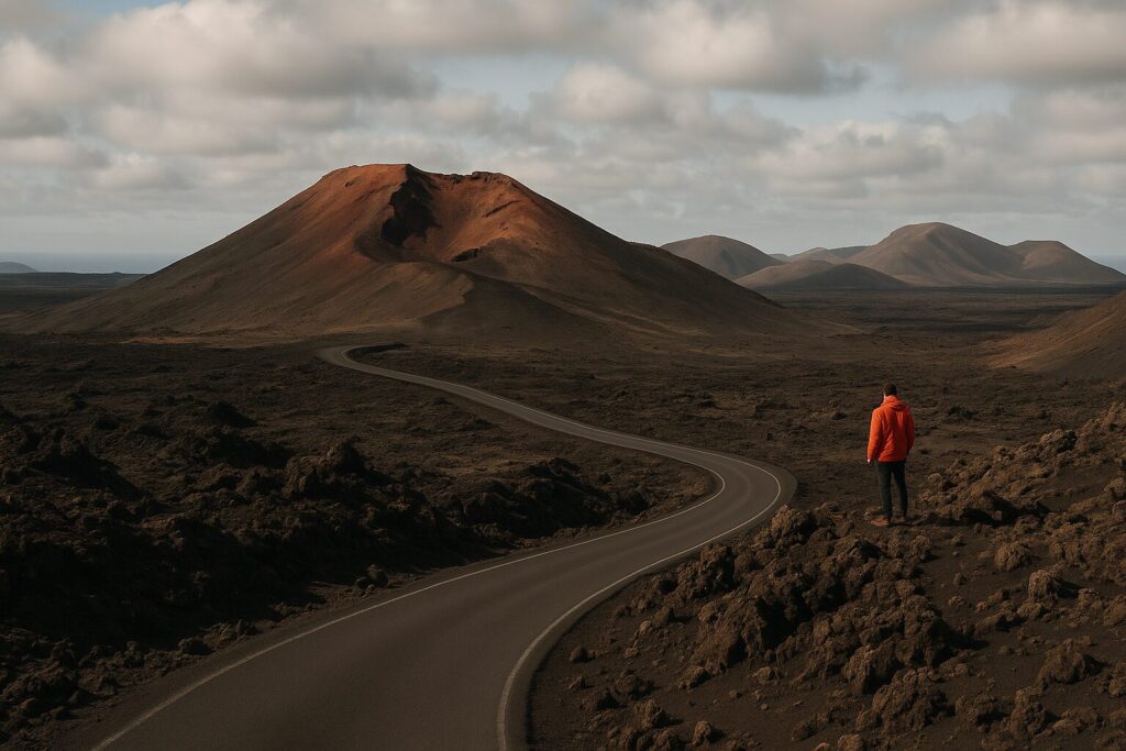
Today, Lanzarote boasts over 1,200 kilometers of asphalt roads. But they are more than just tarmac; they are the arteries that keep the island alive, ribbons of black laid over oceans of frozen lava.
The Camel Era and the Great Change Before we talk about roundabouts and highways, we have to look back. Before the 1730 eruptions, Lanzarote was agricultural. Movement was slow, relying on donkey tracks and dusty paths between villages like Teguise (the old capital) and the ports.
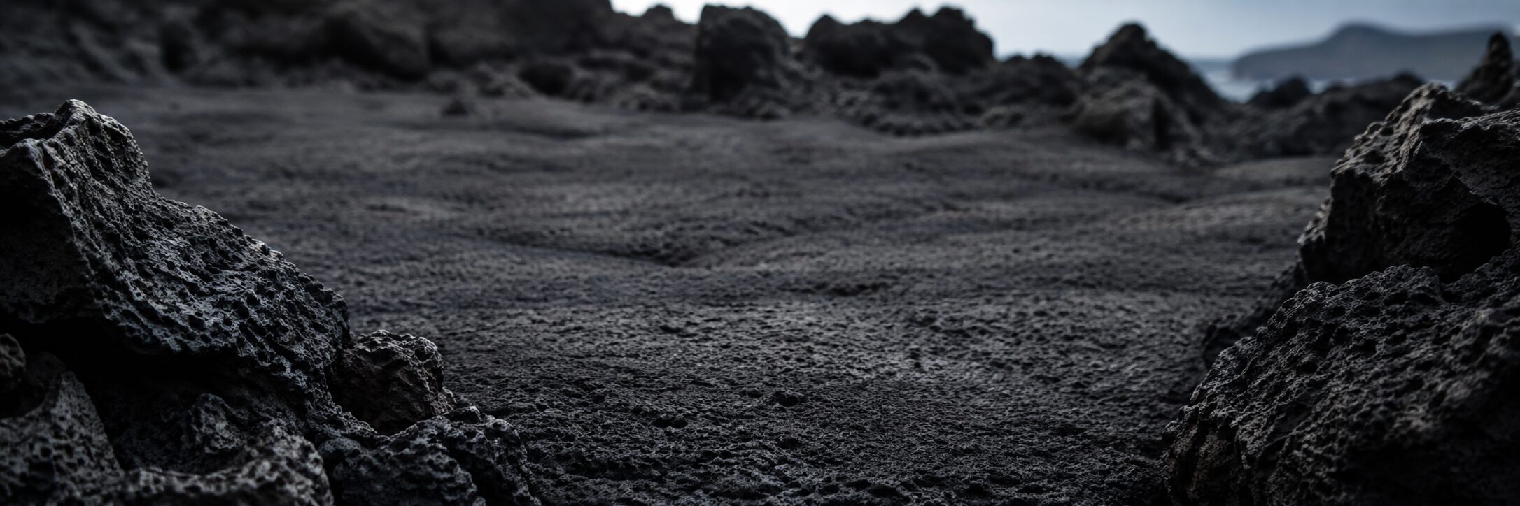
Then, the world ended. For six years, lava buried the most fertile valleys and erased ancient routes. When the smoke cleared, the survivors faced a landscape of sharp, impassable malpaís (badlands).
For nearly two centuries, the true 4×4 of Lanzarote was the dromedary camel. They were the engines of the island, carrying grapes from the new vineyards of La Geria and transporting goods across terrain that would shred boots and break wagon wheels. The infrastructure was the animal.
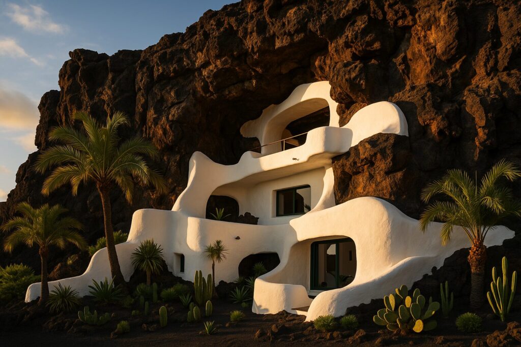
The Aesthetics of Tarmac: The Manrique Effect As tourism began in the 1960s and 70s, the need for real roads became urgent. But Lanzarote did something different than the rest of the world, thanks largely to the vision of César Manrique.
Have you noticed what is missing when you drive here? Billboards.
Manrique convinced the island government to ban roadside advertising hoardings. The result is profound. When you drive, your eyes aren’t assaulted by ads for fast food or insurance. Instead, the road sits respectfully within the landscape. The view is the advertisement.
Furthermore, Manrique turned necessary infrastructure into art. The roundabouts aren’t just functional circles; they host his massive “Wind Toys”—kinetic sculptures that move with the ever-present Alisios winds, turning a simple intersection into an open-air gallery.
Legendary Roads: Where the Blacktop Leads Driving here is cinematic. At Lanzawear, we love loading up the car with gear and just hitting the road. Here are a few stretches that tell a story:
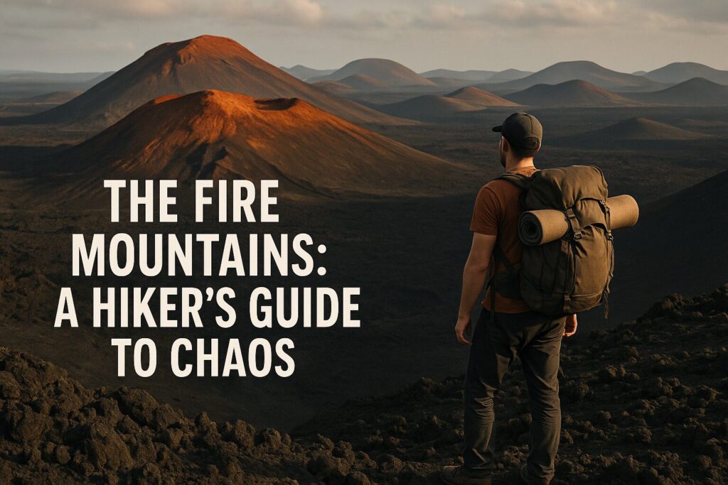
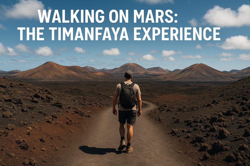
- The LZ-67 (The Mars Route): This is the road that cuts straight through the Timanfaya National Park. Building it was a nightmare of heat and unstable ground. Today, driving it feels otherworldly. It’s just a thin strip of asphalt surrounded by an ocean of chaotic, black lava on both sides. You feel small. You feel like an intruder. It’s spectacular.
- The LZ-10 (The Serpent of the North): Leaving the historic capital of Teguise and heading north toward Haría, you hit the switchbacks of “Los Helechos.” The road snakes down into the valley. This is where you realize the island has two faces: the burnt south and the surprisingly green, terraced north. It’s a driver’s dream (and a cyclist’s challenge).
- The LZ-30 (The Wine Run): This road cuts through La Geria. It’s unique in the world. You are driving through thousands of semi-circular stone walls (zocos) protecting single vines planted in the black ash. It’s proof of human resilience, a highway through an impossible garden.
The Gateways: Air and Sea Our connection to the rest of the world is vital. We are, after all, a rock in the Atlantic off the coast of Africa.
The Aerial Portal (ACE): César Manrique Airport isn’t just a building; it’s an emotional threshold. It started humbly in the 1940s as a military airfield near Arrecife before moving to its current location. The modern terminals handle millions of tourists, but they still retain touches of island charm (look for the murals). For us, the airport experience is defined by that single moment: when the plane doors open and that distinct, warm, slightly dusty smell of the Lanzarote wind hits your face. You know you’ve arrived.
The Maritime Connection: We are islanders, and the sea is our oldest highway.
- Port of Arrecife (Los Mármoles): Historically protected by the Castillo de San Gabriel, this is the commercial heart. It’s where everything from our food to the massive cruise ships arrives. It’s industrial, busy, and vital.
- Playa Blanca Port: In the south, this busy port is the bridge to our sister island, Fuerteventura. The ferries crossing the “La Bocaina” strait are part of daily life here, offering a 30-minute hop to another world of endless sand beaches.
- Puerto de Órzola: The tiny northern port is the gateway to pure adventure. It’s where the small ferries depart for La Graciosa, the 8th Canary Island where there are no paved roads at all. The crossing through the strait known as “El Río” can be choppy, a reminder that the Atlantic is boss, but the destination is paradise.
Conclusion The infrastructure of Lanzarote isn’t just functional; it’s part of the adventure. Every mile of road was fought for against a harsh environment. Every port is a lifeline.
So, the next time you rent a car and head out to a trailhead, take a second to appreciate the black ribbon beneath your tires. It’s the silent hero that lets us explore this incredible island.
Drive safe, stay wild, Team Lanzawear